


Table of Contents
Existing buildings often have incomplete, outdated, or inaccurate drawings. Renovation teams may discover that walls, equipment, structural elements, and building services no longer match the original documents. Relying on these records can create design conflicts, inaccurate quantities, and unexpected changes during construction.
Point cloud technology provides a more reliable way to document existing conditions. Laser scanners and other reality-capture tools record millions of measured points across visible surfaces. These points form a three-dimensional digital representation of the building or site.
However, point cloud data is not automatically a functional Building Information Modeling model. The scan must be processed, interpreted, modeled, and validated before architects, engineers, contractors, and facility teams can use it effectively.
The point cloud to BIM process transforms raw survey information into an organized and information-rich BIM model that supports renovation, coordination, documentation, and building management.
What Is Point Cloud Data?
A point cloud is a collection of three-dimensional data points captured from a physical environment. Each point has a defined position based on X, Y, and Z coordinates. Depending on the scanning method, the data may also include color, intensity, or other visual information.
When millions of points are viewed together, they represent the visible surfaces of a building or site, including:
- Walls, floors, ceilings, and roofs
- Doors, windows, and openings
- Columns, beams, and structural framing
- Ductwork, piping, and electrical services
- Equipment and machinery
- Interior spaces and architectural features
- Exterior facades and surrounding site conditions
Point cloud data may be captured using terrestrial laser scanners, mobile mapping systems, drones, LiDAR devices, or photogrammetry. The appropriate method depends on the building size, required accuracy, accessibility, environmental conditions, and intended model use.
What Is Point Cloud to BIM?
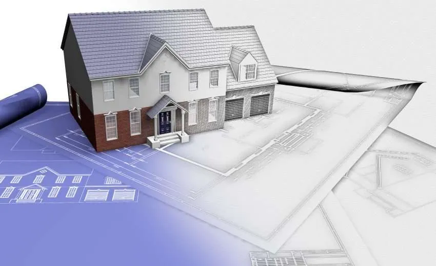
Point cloud to BIM, also known as Scan to BIM, is the process of converting captured point cloud data into intelligent BIM elements.
Instead of keeping the scan as a collection of measured points, BIM specialists interpret the data and create recognizable building components such as walls, slabs, beams, columns, doors, windows, ducts, pipes, and equipment.
These components contain geometry and may also include information about their dimensions, materials, systems, classifications, and asset properties.
The finished BIM model can support design development, construction documentation, clash detection, quantity takeoffs, renovation planning, and facility management.
The process is not simply an automatic conversion. Software may assist with surface detection and object recognition, but trained professionals must still interpret the scan and make modeling decisions.
How Point Cloud Data Is Converted Into an Accurate BIM Model
Creating an accurate BIM model requires a structured workflow. Each stage influences the quality and usability of the final deliverable.
1. Define the Project Requirements
The process should begin before scanning takes place. The project team must determine why the BIM model is required and how it will be used.
A model developed for conceptual renovation may require less detail than one used for fabrication, facility management, or complex MEP coordination.
The team should define:
- Areas and building systems to be captured
- Required measurement accuracy
- Level of Development or Level of Information Need
- Required architectural, structural, and MEP elements
- BIM software and file formats
- Coordinate and survey requirements
- Required model properties and asset information
- Final drawings and model deliverables
Clear requirements prevent unnecessary modeling and ensure that important components are not omitted.
2. Capture the Existing Conditions
A survey team positions scanners at multiple locations throughout the building or site. Each scan captures the surrounding visible surfaces from a specific position.
Multiple scanning locations are necessary because walls, equipment, furniture, and structural elements can block the scanner’s line of sight. Restricted access can also create gaps in the data.
The scanning plan should provide sufficient overlap between scan positions so that the individual scans can later be aligned.
Survey teams may also use control points, targets, total stations, GPS coordinates, or other reference systems to position the point cloud accurately.
3. Register the Individual Scans
Each scan initially uses its own local position. Registration aligns these separate scans into one coordinated point cloud.
The software identifies common targets, control points, or overlapping geometry between scans. It then calculates how the data sets should be positioned relative to one another.
Registration quality is critical. If scans are misaligned, walls may appear doubled, equipment may be displaced, and the resulting BIM model may contain inaccurate geometry.
The team should review registration reports and residual errors before moving into model development.
4. Clean and Process the Point Cloud
Raw scan data can include information that is not required for BIM modeling. People, vehicles, temporary equipment, reflective surfaces, vegetation, dust, and moving objects may create unwanted points or visual noise.
Processing may include:
- Removing irrelevant or duplicate data
- Reducing noise and isolated points
- Cropping the point cloud to the project area
- Dividing large data sets into manageable regions
- Adjusting density for software performance
- Applying color information
- Converting the data into compatible file formats
The goal is not to remove valid existing conditions. Cleaning should improve clarity while preserving the information required for accurate modeling.
5. Establish Coordinates, Levels, and Reference Planes
The processed point cloud must be positioned correctly within the BIM environment.
BIM specialists establish the project origin, shared coordinates, true north, levels, grids, and other reference planes. Survey control should be retained when the model must coordinate with civil, structural, or geospatial information.
Incorrect coordinates can cause significant problems when multiple models are combined. Architectural, structural, and MEP models may appear misaligned even when their individual geometry is accurate.
Before detailed modeling begins, the team should confirm units, elevation references, coordinate systems, and orientation.
6. Import the Point Cloud Into BIM Software
The processed point cloud is linked or imported into BIM authoring software. The BIM team can then review the building from plan, elevation, section, and three-dimensional views.
Section boxes and clipping tools help isolate specific areas. Different point cloud regions may also be displayed separately to improve navigation and software performance.
The point cloud remains a reference during modeling. It is not normally edited directly within the BIM software.
7. Create Architectural BIM Elements
The BIM team begins interpreting the scan and creating architectural components.
Walls are modeled according to visible faces, thicknesses, heights, and alignments. Floors, ceilings, roofs, doors, windows, stairs, and other components are created using the point cloud as a geometric reference.
Existing buildings are rarely perfectly straight or level. The modeler must determine whether to represent every irregularity or create a simplified nominal condition.
This decision should follow the project requirements. Excessive simplification can reduce accuracy, while modeling every minor surface variation can make the model unnecessarily complex.
8. Develop Structural and MEP Models
When included in the scope, structural elements such as columns, beams, slabs, foundations, and framing are modeled from visible scan data.
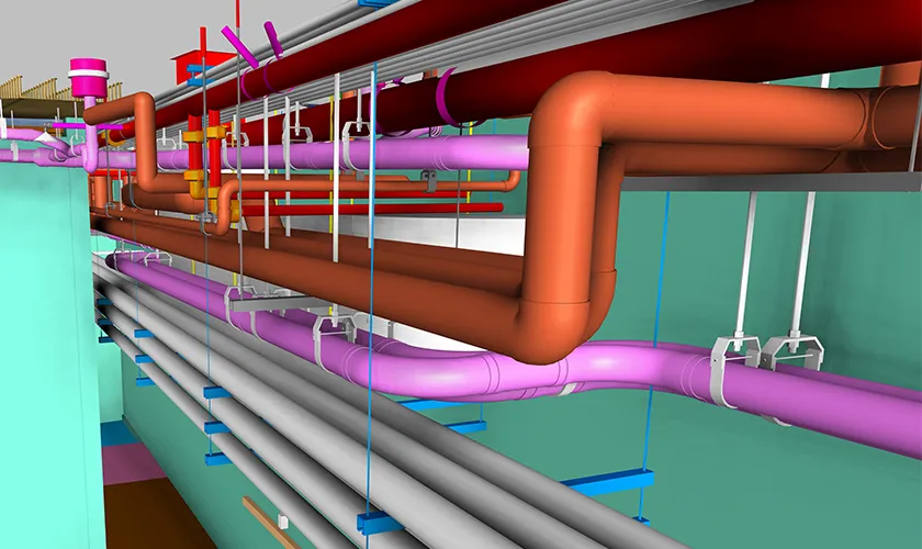
Mechanical, electrical, plumbing, and fire protection components may include:
- Ductwork and fittings
- Pipes and valves
- Cable trays and conduits
- Sprinkler piping
- Mechanical equipment
- Electrical panels
- Plumbing fixtures
- Supports and service connections
MEP modeling can be more difficult when systems are concealed above ceilings, inside walls, or below floors. A point cloud records only surfaces visible to the scanner. Hidden components may require drawings, inspections, additional scanning, or field verification.
9. Add BIM Information and Classification
A geometric model becomes more useful when its components contain structured information.
Depending on the scope, BIM elements may be assigned:
- Element names and identification numbers
- Materials and construction types
- System classifications
- Equipment data
- Asset tags
- Dimensions and levels
- Maintenance information
- Project-specific parameters
- Existing, demolished, or proposed status
The information should match the intended use of the model. Adding unnecessary data increases production time without necessarily improving the deliverable.
10. Validate the BIM Model Against the Point Cloud
Validation is essential to confirm that the BIM model represents the captured conditions.
The BIM model can be overlaid with the original point cloud. Specialists review plans, sections, elevations, and three-dimensional views to identify deviations.
Quality-control checks may examine:
- Wall and floor alignment
- Structural element locations
- Opening sizes and positions
- Equipment dimensions
- MEP routes and elevations
- Model coordinates and levels
- Missing or incorrectly classified elements
- Compliance with the required modeling tolerance
Deviation analysis may also be used to compare model surfaces with scan points. Any differences outside the agreed tolerance should be investigated and corrected.
What Determines the Accuracy of a Point Cloud BIM Model?
An accurate model depends on more than the scanner’s technical specifications.
- Quality of the Field Survey – The scan must cover the required areas with sufficient overlap and minimal obstruction. Missing rooms, inaccessible spaces, or poorly positioned scanners can create incomplete data.
- Registration Accuracy – Even high-quality scans can produce an inaccurate model if they are not aligned correctly. Registration reports and survey controls should be reviewed before modeling begins.
- Required Modeling Tolerance – Accuracy should be defined in measurable terms. “Highly accurate” can mean different things to different stakeholders. The team should agree on acceptable deviations based on the project’s intended use.
- Modeler Experience – Point clouds contain visual complexity. Skilled BIM professionals must distinguish between permanent building components, temporary objects, surface irregularities, and scanning noise.
- Visibility of Building Systems – Laser scanning cannot record components hidden behind walls, ceilings, insulation, or equipment. These areas may require additional investigation or supporting documentation.
- Quality-Control Procedures – Regular reviews during production help identify errors before final delivery. Waiting until the end of the project can make corrections more difficult and time-consuming.
Benefits of Converting Point Clouds Into BIM Models
Point cloud to BIM provides a reliable digital foundation for projects involving existing buildings.
- More Accurate Existing-Condition Documentation – The process reduces dependence on outdated drawings and extensive manual measurements. Teams receive a coordinated visual and geometric record of the accessible building conditions.
- Better Renovation Planning – Designers can develop proposed layouts within the context of the existing building. This helps them understand structural limitations, available space, service routes, and potential construction challenges.
- Improved Multidisciplinary Coordination – Architectural, structural, and MEP teams can coordinate proposed work against the existing-condition model. This helps identify conflicts before demolition, fabrication, or installation begins.
- Reduced Site Visits – A detailed point cloud and BIM model allow project teams to review many existing conditions remotely. Additional site verification may still be required, but the need for repeated measurement visits can be reduced.
- Clearer Construction Documentation – Plans, elevations, sections, schedules, and demolition drawings can be developed from the BIM model. This creates more consistent documentation for approvals and construction.
- Support for Facility Management – When asset information is included, the model can support equipment identification, maintenance planning, space management, and future renovations.
Common Challenges in Point Cloud to BIM Projects
Large point cloud files can affect software performance and require careful data management. Dividing the scan into logical regions and adjusting display density can make modeling more efficient.
Occlusions are another common problem. Objects and building components may block the scanner’s view, leaving gaps in the data. These gaps should not be filled through unsupported assumptions.
Existing buildings also contain irregular geometry. Floors may slope, walls may bow, and structural components may not align perfectly. The project team must decide which irregularities are important enough to model.
Scope changes can also increase costs. If additional disciplines, rooms, assets, or information requirements are introduced after production begins, completed model elements may need to be revised.
These challenges can be managed by defining the scope, accuracy, exclusions, and deliverables before scanning and modeling start.
Applications of Point Cloud to BIM
Point cloud BIM models can support many building and infrastructure projects, including:
- Renovations and retrofits
- Historic building documentation
- Commercial interior improvements
- Industrial facility upgrades
- MEP system replacement
- Structural assessment
- Building expansion
- As-built documentation
- Facility and asset management
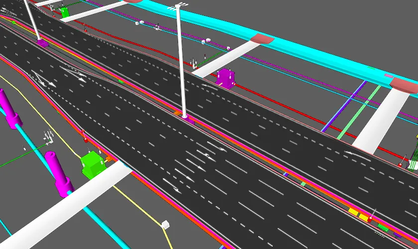
- Infrastructure rehabilitation
The appropriate model detail should always reflect the project’s intended application.
How Endeion Supports Point Cloud to BIM Projects
Endeion provides point cloud to BIM and BIM modeling services for architectural, structural, MEP, industrial, and existing-building projects.
Our process begins with a review of the available scan data, project requirements, required accuracy, disciplines, Level of Development, and final deliverables. The BIM team then develops project-specific model elements and performs quality checks against the original point cloud.
Endeion can support existing-condition modeling, renovation planning, multidisciplinary coordination, construction documentation, as-built models, and facility information requirements.
Contact Endeion to discuss your point cloud files, project scope, software requirements, accuracy expectations, and delivery schedule.
Conclusion
Converting point cloud data into an accurate BIM model requires more than importing a scan into modeling software. The process includes defining requirements, capturing existing conditions, registering and cleaning scans, establishing coordinates, creating intelligent building elements, adding required information, and validating the model against the original data.
When performed correctly, point cloud to BIM provides project teams with a dependable representation of existing conditions. It supports renovation design, multidisciplinary coordination, construction documentation, asset management, and more informed decision-making throughout the project lifecycle.
FAQs About Point Cloud to BIM
Can Point Cloud Data Be Converted Into BIM Automatically?
Some software can assist with surface detection and object recognition, but complete conversion usually requires professional interpretation. BIM specialists must identify elements, select suitable object types, resolve irregularities, and verify accuracy.
What File Formats Are Used for Point Cloud to BIM?
Common point cloud formats include RCP, RCS, E57, LAS, LAZ, PTS, and PTX. Required formats depend on the scanning platform, processing software, and BIM authoring application.
How Accurate Is a Point Cloud BIM Model?
Accuracy depends on the scanner, survey method, registration, site conditions, modeler experience, and agreed tolerance. The required accuracy should be defined before scanning and model production begin.
What Level of Development Can Be Created From Point Cloud Data?
Point cloud data can support different levels of geometric detail, but the appropriate LOD depends on scan visibility, project requirements, and available supporting information. A scan alone may not provide the internal composition or properties of every element.
Can Point Cloud to BIM Capture Hidden Building Services?
No. Laser scanners capture visible surfaces. Systems concealed inside walls, ceilings, floors, or insulation may require drawings, inspections, exploratory work, or additional survey methods.

